
Île-de-France (Paris Suburbs) Map v0.1.5b 1.56


Description:
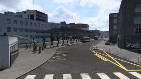
This is a standalone map
Scale 1:1
The cities of Rony-sous-Bois, Charenton-le-Pont, Saint-Mande, Vincennes, Bagnolet, Villiers-sur-Marne and the 12th and 20th arrondissements of Paris
Motorways A3, A4, A86, A103 and A186
Real companies: SNCF, Bercy 2, La Poste, Carrefour, Eiffel, SFCP, Westfield Rosny 2, Marché Grand Frais, Castorama and Rosny-sous-Bois farming companies
Beautiful views
Realistic interchanges
Fix for crashes related to 1.56 (when creating a profile & loading the game)
Various bug fixes
Credits:
Georges93
DOWNLOAD paris_suburbs_map_v0.1.5b_1.56.x.scs – 593.4 MB