
Île-de-France Map (Paris suburbs) v0.2 Update
Description:
Update 0.02 :
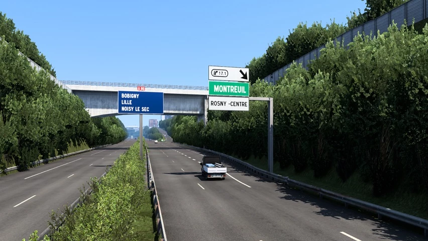
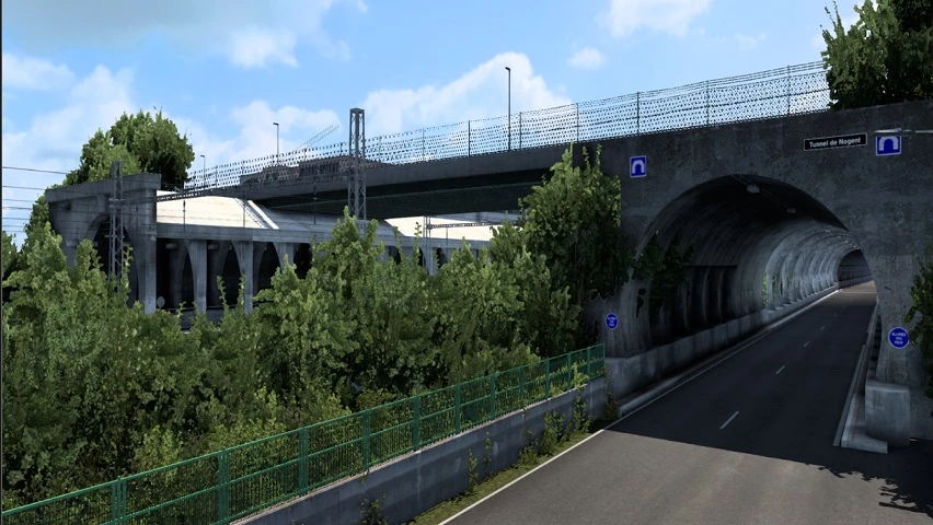
[+] Fixed major bug : removed invisible walls on highways (in A86, A3).
[+] Added decorations, street lamps and missing bridges on A3.
Update 0.01 :
[+] OFFICIAL RELEASE
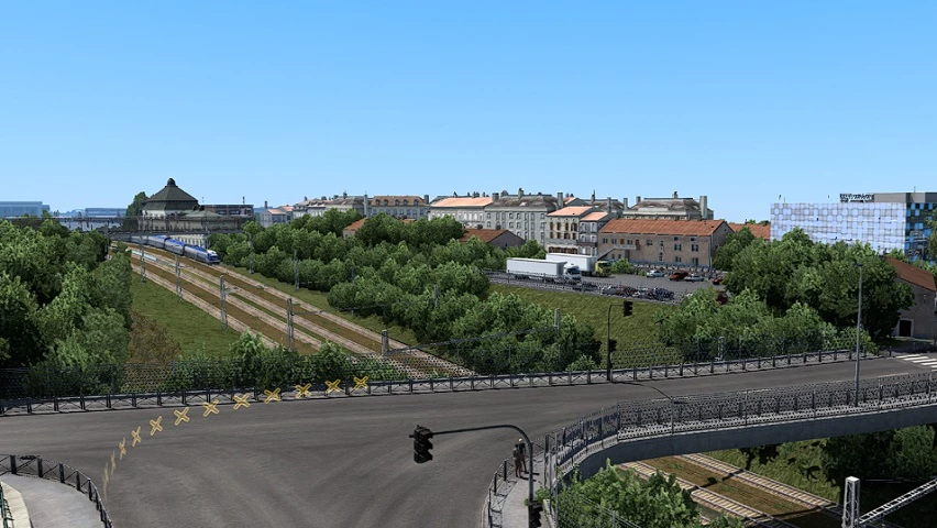
[+] Cities of Rosny-sous-Bois, Charenton-le-Pont, Saint-Mandé, Vincennes, Bagnolet and the 12 and 20th districts of Paris.
[+] SNCF, Bercy 2, La Poste, Carrefour, Eiffage, SFCP, Westfield Rosny 2, Marché Grand Frais, Castorama and the Rosny-sous-Bois pedagogic farm companies.
[+] A3, A4, A86, A103 and A186 highway
Credits:
Georges93
DOWNLOAD https://modsfire.com/2TsQ1wna8fAHxwo


Slt super
J’ai moi même fait aussi une map île de France il y a bout de temps si tu veut de l’aidé esite pas